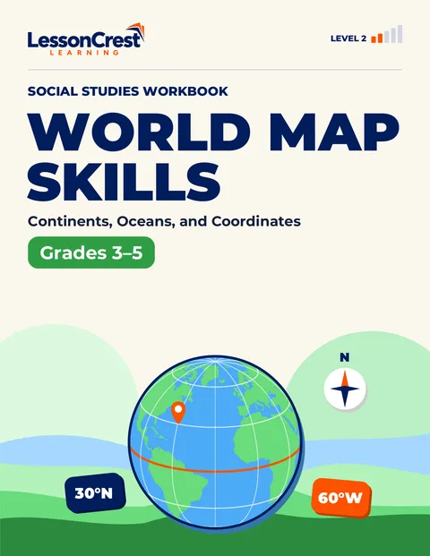
About this book
Read the world map like a geographer.
Find all seven continents and five oceans on globes and on differently centered world maps. Use the equator, the prime meridian, latitude and longitude to describe exactly where a place is, then measure distances with a scale bar and read a map key.
- Continents and oceans on more than one kind of map
- Hemispheres and directions without relying on ‘top’ and ‘bottom’
- Latitude first, then longitude: reading and plotting coordinates
- Scale bars, thematic keys and choosing the right map
With explained answers for every page
Look inside
What this book covers
Covered
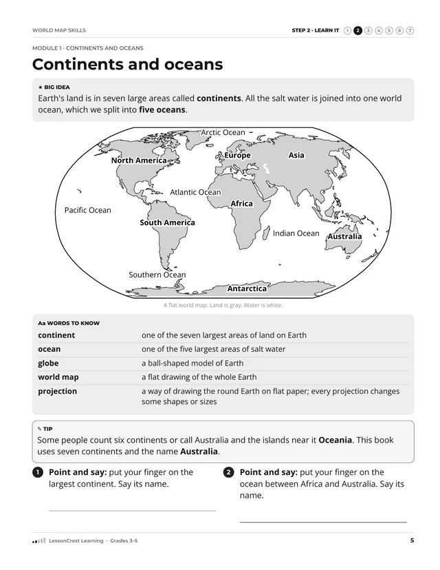
Covered: the seven continents and five oceans on globes and several kinds of world maps; the equator, prime meridian, hemispheres and cardinal directions; latitude and longitude in whole steps of 10, 20 or 30 degrees; scale bars and simple thematic keys.
Not covered
Not covered: country names and borders, time zones, minutes and seconds of a degree, and how map projections are calculated.
Before you start, you should be able to
- Use a map key to find what a symbol means
- Name a square on a grid with a letter and a number
- Use a north arrow
Things to have
You will need a pencil, an eraser and a centimeter ruler or a strip of paper.
Notices
World outlines are simplified from Natural Earth 1:110m data (public domain, naturalearthdata.com). Islands, towns and rainfall maps marked as fictional are invented for practice.
Pictures in this book are simplified learning models. Check answers with the explanations at the back of the book.
The steps in this book
- Step 1: Get Ready
Check the map skills you need first: a map key, directions and rows and columns.
- Step 2: Learn It
Read a short explanation with a labeled map and the new words.
- Step 3: See It
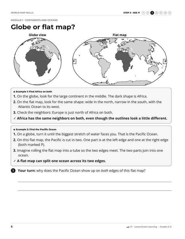
Follow two worked examples, one step at a time.
- Step 4: Try It Together
Try it with prompts and help boxes. The help gets smaller each time.
- Step 5: On Your Own
Work on your own with different maps and explain your thinking.
- Step 6: Look Back
Look back at earlier skills, then check where to go next.
- Step 7: Check and Fix
Check your answers. Each one explains why, names a common mistake and shows how to fix it.
What is in the book
The modules
- Module 1: Continents and oceansPages 5–14
- Module 2: Direction and hemispheresPages 15–24
- Module 3: Latitude and longitudePages 25–34
- Module 4: Scale and map questionsPages 35–44
Contents
- Readiness check, pp. 3–4. Before Module 1. Its table tells you where to start.
- Modules, pp. 5–44
- Checkpoints, pp. 14, 24, 34, 44. The last page of each module.
- Mixed review, pp. 45–48. Questions from across the book, mixed together.
- Exit check, pp. 49–50. A last check across the book.
- Reflect and repair, p. 51
- Try again, p. 52. Fresh questions like those in the exit check.
- Extra practice, pp. 53–54
- Answers and explanations, pp. 55–64. Notes in this part are headed “Why”, “Common mistake”, “Help” and “Look for”.